hikers on Val Maira path between rocky mountains

Val Maira, between Piedmont and France

Level
3
Distance
72 km
Duration
8 days | 7 nights
period
Jun Jul Aug Sep Oct
price from
€ 1.119
CO2 footprint
71 Kg/person
  1. Italy
  2.  | 
  3. Self-Guided
  4.  | 
  5. Tourcode ITSW260

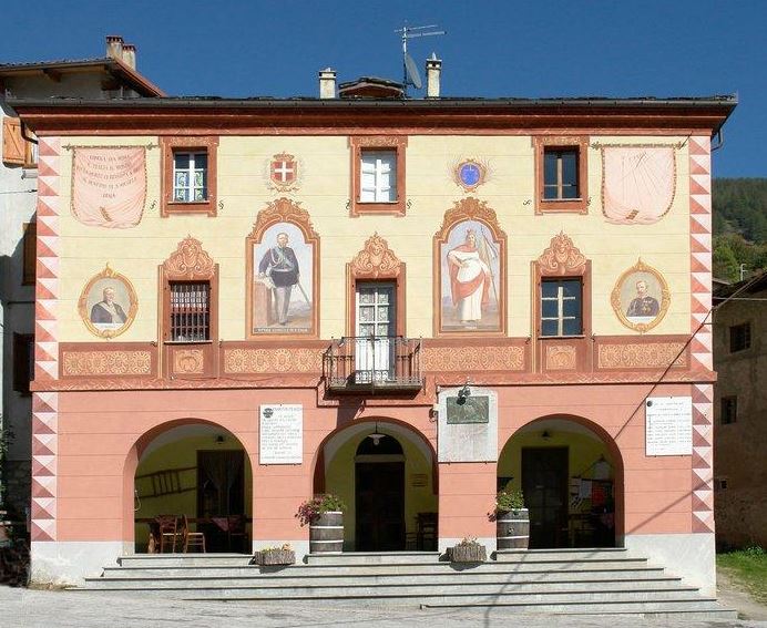
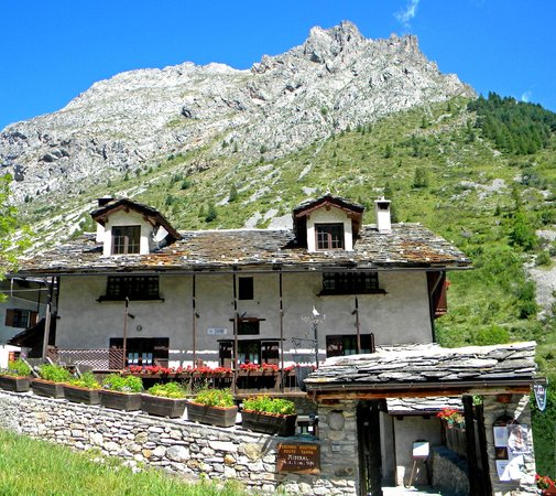
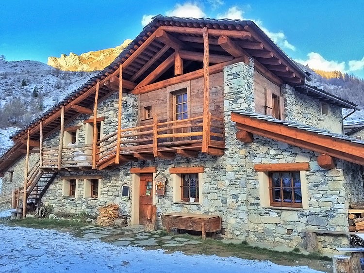
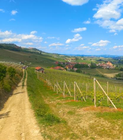
Villages suspended between the woods and the sky, guarded by the mountains; holm oak and pine forests, springs of the clearest water and natural caves that water carved into the karst rock; small charming hotels and hosts as nurturing as the local cuisine - tasty and rustic, typical mountain food. If you are reading these words and thinking that this is everything your heart may desire, Val Maira must be singing your name in its Occitan dialect

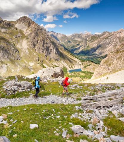
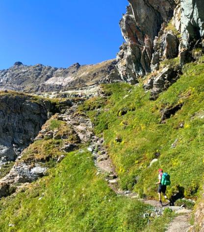
Located in the Southern Alps near the French border, Val Maira is only now becoming popular among hikers as a hiking paradise. You won’t find packed walking paths, crowded ski slopes and mass tourism, but rather beautiful hamlets and a nature so untamed to be still populated with a lot of animals and - legend says - curious but benevolent gnomes. 

French influence - the country which the locals used to be more in contact with, as it was easier to reach than Italy - is vivid and well perceivable in its food, language, culture. The Occitan culture makes this enchanting territory even more peculiar. 

Highlights

  • Breathe amidst quiet and secluded mountains;
  • Discover the ancient villages, Roman and Gothic churches and chapels;
  • Treat yourself with the delicious local food (Occitane and Italian cuisine);
  • Admire breathetaking landscapes and flora and fauna surrounding you.

Itinerary

Day 1

Arrive in San Michele Prazzo

Arrive in San Michele Prazzo

Arrive in the village of San Michele Prazzo at 1370m altitude and take some time to visit the beautifully painted Parish Church.  You will be picked up from the bus stop and transferred to the first accommodation.

Day 2

Lou Viol Dal Genesté San Michele round walk, 10 km

Lou Viol Dal Genesté San Michele round walk, 10 km

The day’s walk is on the southern slopes above San Michele and follows part of the “Lou Viol Dal Genestè". This circular route takes you into contact with nature, from forests of larch and spruce to grasslands and rocky crags, and Genestè (growing broom). Along the trail it’s easy to spot a variety of wildlife native to the area.

Distance: 10 km

Elevation: +564 / -592 m

Day 3

Walk from San Michele to Ponte Maira (17 km)

Walk from San Michele to Ponte Maira (17 km)

A challenging hike high above the valley with beautiful views. The walk goes through woods and meadows and you will encounter only a few tiny hamlets.  Arrive at the accommodation in Acceglio and enjoy the peacefull atmosphere of this place.

Distance: 17 km

Elevation: +1046 / -986 m

Day 4

Chiappera round walk, 10 km

Chiappera round walk, 10 km

A short morning transfer will lead you to Chiappera, the last restored village of Val Maira at 1620m altitude, where the day’s walk starts. The village has a bar and a beautiful church with frescoes.  The initial climb to the striking Rocca Provenzale is tough, but after Colle Greguri (2309m) it becomes a leisurely walk back to Chiappera, where you will be picked up and taken back to the accommodation.

Distance: 10 km

Elevation: +906 / -723 m

Day 5

Ponte Maira round walk, 13-16 km

Ponte Maira round walk, 13-16 km

Another short transfer in the morning will lead you this time to Sorgente Maira where today’s walk on the Sentiero Frassati starts. This itinerary goes past a few smaller and larger mountain lakes, such as the deep blue Lago Apzoi at 2300m altitude, as well as a series of bunkers that Mussolini had built on the border with France. At the end of the walk you will be picked up and taken back to the accommodation.

Distance: 13 or 16 km

Elevation: +945 / -932 m

Day 6

Walk from Ponte Maira to Viviere, 9 km

Walk from Ponte Maira to Viviere, 9 km

Today you leave Ponte Maira for the tiny mountain village of Viviere, located in the cool and more forested northern slope of the Val Maira. A long climb brings you to Colle Ciarbonet (2206m), then you start descending to Viviere where you will be staying in a cozy welcoming hut.  

Distance: 9 km

Elevation: +603 / -509 m

Day 7

Colle Oserot walk, 13 km

Colle Oserot walk, 13 km

This final stage takes you up to Colle Oserot (highest point 2640m).  This is a very nice walk along steep limestone cliffs and green meadows with great panoramic views.  You can also make a small trip to Rifugio Gardetta (at 2380 m), situated on the Plateau Gardetta.

Distance: 13 km

Elevation: +1007 / -876 m

Day 8

Arrivederci Val Maira!

Arrivederci Val Maira!

The trip and our services end after breakfast, unless you have booked other nights of services with us. From Viviere you will be brought to the bus stop in Acceglio.

Details

Is this for me?


Among our favorite trips, you will love it if you'd like a mountain holiday among  stunning sceneries but far from the crowds; the hikes are marvelous, the hotels comfortable and charming, the local cuisine great and the Occitan culture very fascinating- This is a great trip for families with teens. 

Included


The price includes:

  • 7 Nights in double rooms in mountains huts with breakfast
  • 7 dinners and 6 packet lunch
  • luggage transport from hotel to hotel
  • People and luggage transfer bus stop Prazzo-San Michele
  • Transfer Ponte Maira-Chiappera;Chiappera-Ponte Maira; Ponte Maira-Sorgente Maira; 
  • People and luggage transfer Acceglio-bus stop in Acceglio
  • maps and detailed description of the itinerary in digital form, app
  • Medical and luggage travel insurance
  • 24h phone assistance

The price does not include:

  • Transfers to the starting location and from the arriving location of the tour
  • Lunches and dinners, if not otherwise stated.
  • Visits and entrance fees - tips
  • Personal expense
  • Everything that is not mentioned in the "What is included" section.

Optional Services:

These services can be added to the ones included in the base price of the tour:

  • Single room supplement
  • cancellation insurance
  • Transfers to reach the starting location or to leave the arriving location of the tour, which will be quoted on request.
  • travel documentation in printed form (maps and detailed description of the itinerary), shipped to the first hotel

Accommodation


Locanda La Tano di Grich Prazzo
Locanda La Tano di Grich - Prazzo

In Occitan, “la tano di Grich” means “the crickets’ burrow” and it is located in the High Maira Valley, the most intact of all the valleys in the Province of Cuneo. The building is dating back to the XIX century and it offers rooms, lodges and apartment with kitchenette, fireplace, private bathroom. The inn proposes very good typical dishes. Owners are courteous and welcoming. 

www.latanodigrich.it

Locanda Mistral Acceglio
Locanda Mistral - Acceglio

The inn Mistral is situated at 1400 meters above sea level in the relaxing atmosphere of a cosy farmer's house of the 19th century. Rooms are well-furnished, welcoming and comfortable. The kitchen proposes specialties from the Maira Valleyand the staff is very courteous. Rooms have woody furniture with a private bathroom and balcony. Homemade breakfast is very good.

www.locandamistral.com

Rifugio di Viviere Acceglio
Rifugio di Viviere - Acceglio

This mountain hut offers accommodations with mountain style, all of wood, comfortable and welcoming with private bathroom. The structure also offers finnish sauna and two scandinavian hot tubs. The restaurant offers occitan and from Piedmonts typical dishes. 

www.rifugiodiviviere.com

When to travel


In Val Maira you will experience the typical mountain weather. In June you will still find patches of snow here and there. Like in all mountainous areas, the weather can be unpredictable and can change quickly so always check the weather forecast before setting and always take with you a rain jacket, warm hat and gloves.

What to bring


Clothing and other items
You will need your regular walking/cycling gear, including some sort of reflective garment. For the evenings, smart outdoor style trousers (or shorts) are invaluable, as are quick-dry t-shirts. These can be washed easily and will dry overnight and still look good for sightseeing or having a drink in town.

Take as little as possible to avoid potentially lugging a heavy suitcase up three flights of stairs at the end of the day. Please be aware that laundromats (“Laverie”) are not common in rural areas, so plan to do handwashing of small items.

Lightweight walking shoes/ trainers
For wearing around towns & villages. They can also be a back-up pair.

Socks & underwear
Take only good quality socks with quick-dry and insulating qualities. Road test them before you go on the trip. Take a suitable quantity of underwear as washing facilities are limited.

Warm jacket, hat, gloves
Bring a fleece, Polartec or warm layers for the evenings especially in spring or autumn; be sure it is totally suitable for your needs.
A fleece jacket which blocks the wind (Wind-stopper) is the most preferable. In the summer months a lightweight jacket is suitable for evenings.
If you are cycling/walking in mountainous or coastal areas, even in the height of summer, the weather can change very quickly and unexpectedly and you should be prepared for fog, mist, rain, snow or hail at any time. Always take an extra layer with you, as well as a warm hat and gloves.

Waterproof jacket & trousers
If you are caught in heavy rain, with good waterproof clothing you should remain dry. Remember that most garments will lose their properties over time. Few will remain waterproof for more than five years and many deteriorate in three years or less. We recommend a rain jacket with a good hood and collar and waterproof or thermal walking/cycling trousers or tights.

Dress code
In general, you should wear suitable clothing when entering a church (in many places, it is considered unacceptable to go inside wearing shorts or a tank-top). We suggest that women carry a shawl to cover up bear shoulders or low-cut tops. It also comes in handy when your shoulders get sunburned!

It is considered inappropriate for men to go without a shirt / T-shirt (other than at the beach).

Trekking poles (adjustable)
Highly recommended. A pair works best, depending on what you are comfortable with. If you suffer from back or knee pain this should be considered essential. Remember to practise walking with your pole(s) on different types of terrain in the months preceding your trip.

Walking boots
The importance of good footwear cannot be stressed enough. Your boots should be sturdy and of good enough quality to handle all types of terrain. Lightweight boots, (cordura/leather boots) which have Gore-Tex or sympatex water-proofing are most suitable for this trip. They should provide good ankle protection and be well broken in. Waxing leather boots regularly prolongs their life.

Walking tops & trousers
We recommend walking trousers and shorts and quick-dry wicking t-shirts. These can be washed easily and will dry overnight and still look good for sightseeing or having a drink in town. Wicking T-shirts are fast drying, keep moisture away from your skin and are available at outdoor stores. You should also bring one pair of loose-fitting trousers to wear in cities and for evenings out, etc. Shorts or zip-off trousers are useful in warmer weather.

Practical info

How to arrive


From either Torino airport (TRN), reach the train station Torino Porta Nuova and take a train to Cuneo.

From Nice airport (NCE), reach the Nice-Ville train station and get on the Train des Merveille to Cuneo.

From Cuneo, there are only few direct connections to Prazzo: you need to reach Prazzo Inferiore by bus (with change in Dronero). In Prazzo Inferiore, you wil be picked up and taken to you accommodation.

Check train timetables on:


Mobile App


Use the SloWays APP for iOS and Android smart phones in combination with the written documentation provided.

The App has the detailed tracks and maps that you can use offline and without roaming. Thanks to the phone’s internal GPS, you can check your exact position on the map, so you always know exactly where you are. It also helps you self-navigate you way while travelling. More information on how to use the App inside the roadbook documents.

The navigation features include:

  • Offline navigation. Mobile data not required after initial download
  • Accurate GPS tracks
  • Autorotation of the maps
  • Daily route summary and elevation chart
  • Panorama of the track and at street level
  • Alarm and vibration that alerts you in case you go off track.
  • Emergency SMS button with position coordinates
  • Possibility to record and take georeferenced photos of problems on route alerting fellow travelers
  • Hotel information
  • Points of interest along the way
  • Historical background

Wanderlust Nominee Best Specialist Tour Operator 2023
Wanderlust
Nominee Best Specialist Tour Operator 2023
Change currency:

We accept:

VISA MASTERCARD

We accept:

VISA
MASTERCARD
FTO ATTA member
100% Green Travelife
FTO ATTA member 100% Green Travelife

Touroperating
S-Cape Countryside Travels srl
Borgo Allegri 16R
50122 Firenze FI
P. IVA 05227330486

 
© 2024 SloWays. All rights reserved.
Touroperating S-Cape Countryside Travels srl Borgo Allegri 16R 50122 Firenze FI, Italy
VAT Nr 05227330486

We and selected third parties use cookies or similar technologies for technical purposes and, with your consent, for functionality and marketing (personalised ads) as specified in the cookie policy. Denying consent may make related features unavailable.

With respect to advertising, we and selected third parties, may use precise geolocation data, and identification through device scanning in order to store and/or access information on a device and process personal data like your usage data for the following advertising purposespersonalised ads and content, ad and content measurement, audience insights and product development.

You can freely give, deny, or withdraw your consent at any time by accessing the preferences panel.


Use the “Accept” button to consent. Use the “Reject” button or close this notice to continue without accepting.

extraSmallDevice
smallDevice
mediumDevice
largeDevice
largeDevice
largeDevice