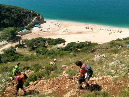
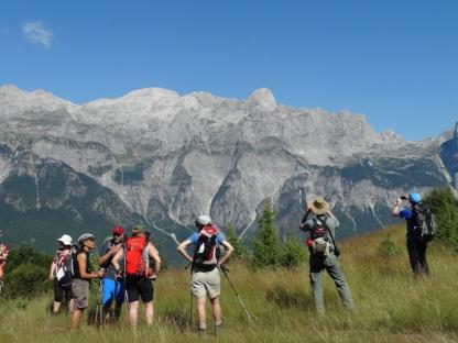
Europe’s last wild river, the Vjosa, winds its way across southern Albania, carving through dramatic landscapes and pristine nature. This Albania Mountains Hiking experience follows one of its most impressive branches — the Zagoria River Valley — framed by towering peaks and endless greenery.
Trek from doorstep to doorstep through remote, idyllic villages where time stands still. Along the Albania Mountains trails, you’ll walk past flower-covered meadows and snow-capped peaks that burst into life in spring and glow golden during autumn harvest time.
Follow the ancient footsteps of caravans, crossing historical Ottoman stone bridges and exploring orthodox churches decorated with centuries-old frescoes. Stop to bathe in a refreshing waterfall or soak in the natural thermal pools that dot the valley.
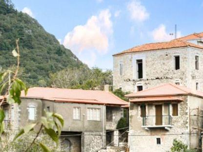
End your Albania Mountains Hiking adventure by stepping into history at the grand mansions of the City of Stone, Gjirokastra, before concluding your journey in the vibrant capital, Tirana.