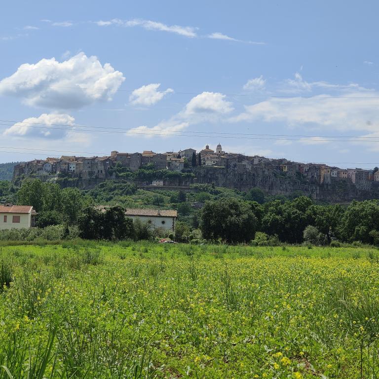
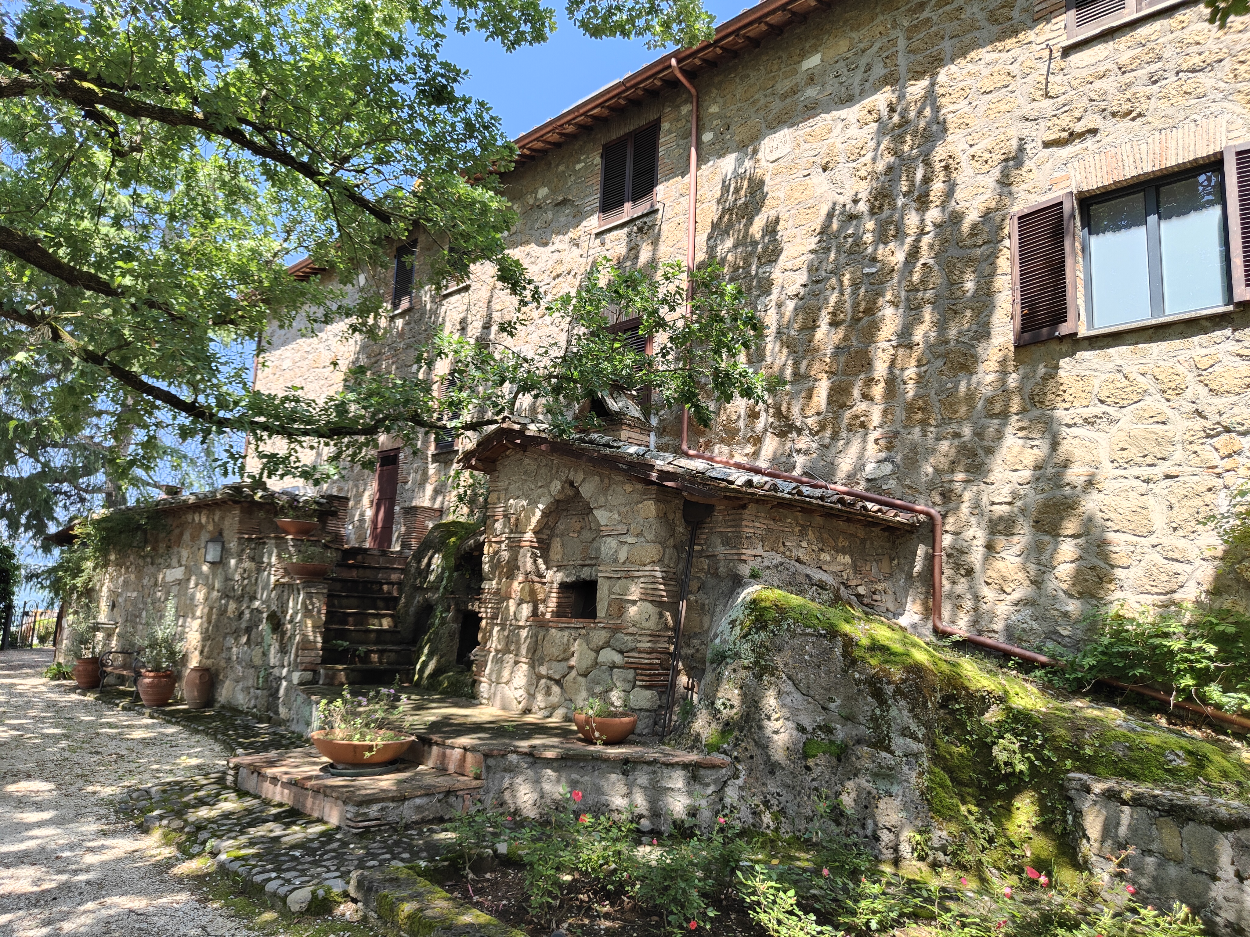
via amerina scenic sight of the village calcata

Via Amerina, in Northern Latium

Level
2
Distance
106 km
Duration
8 days | 7 nights
period
Apr May Jun Jul Aug Sep Oct
price from
€ 751
CO2 footprint
111 Kg/person
  1. Italy
  2.  | 
  3. Self-Guided
  4.  | 
  5. Tourcode ITSW610

The ancient Via Amerina camino is one of the most iconic historic places in the Lazio northern Area.

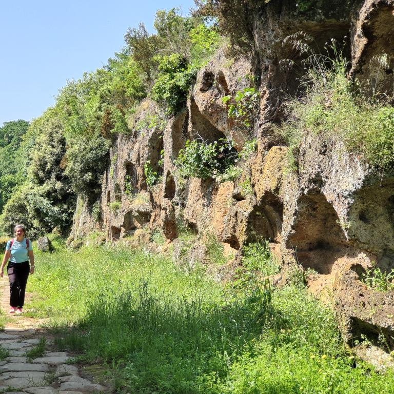
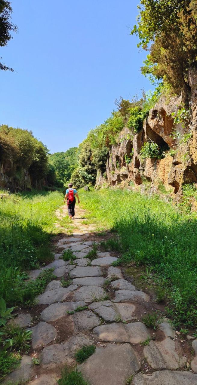
All along its way, from Amelia to Rome, it runs alongside most of the unique villages as well as the pristine green of the woods, which hide necropolises and mysterious ruins.
The unique characteristics of this ancient road, which proceeds between Roman bridges, cut cliffs and naturalistic wonders, make it one of the first important architectures of Roman expansionism.

It is today one of the best-preserved roads in Southern Etruria. It is a small unspoilt jewel for walkers looking for trekking near Rome, the Eternal City.
The Via Amerina was built in the 4th century BC, during Roman expansionism. The road, which reaches Amelia, is completed after the destruction of the Faliscan capital Falerii Veteres, in 241 BC.

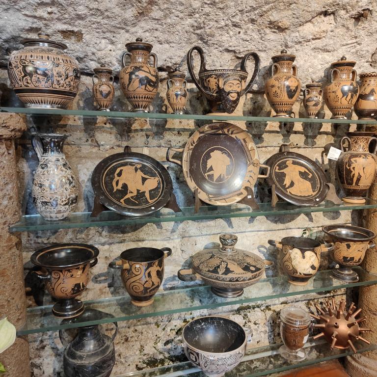
The Romans built this road detached from the main Faliscan settlements, to exclude them and prevent new revolts. During the same period, they build the city of Falerii Novi, to which the Falisci are transferred. Here we tell you about the Necropolis of Cavo degli Zucchi, the largest existing Faliscan necropolis. An evocative place, full of charm and mystery.

As you will discover by opening the pages of the individual stages, the Via Amerina is a treasure chest of priceless archaeological treasures.

read more >>
Highlights

  • Fascinating unspoiled countryside: olive groves and winery 
  • Ancient Faliscan, Etruscan and Roman villages and historical sites: necropolis, the Fortress of the Popes 
  • Orte ancient town and its underground area
  • Nature Reserves: Cavo degli Zucchi, Treja Valley Park
  • Small, comfortable, family run accommodations with delicious culinary specialties

Itinerary

Day 1

Arrive in Orte

Arrive in Orte
Here you are in Orte. The centre of the Tiber Valley, situated on a high tuffaceous cliff, the latter appears to be surrounded to the north and east by a bend in the Tiber River, and to the south by the furrow of its tributary stream Rio Paranza. Because of its location at the crossroads of the roads that run up the Tiber valley, Orte was considered an important commercial stop. Enjoy a walk through its narrow streets and if you have the time explore the suggestive labyrinth of tunnels of Orte Sotteranea.

Day 2

Transfer to Amelia and walk to Orte, 19 km

Transfer to Amelia and walk to Orte, 19 km
A short morning transfer will take you to the start of the Via Amerina in Amelia, near the Umbrian border, famous for its beautiful medieval old town. After s short visit to the Civic Archaeological Museum and the Cathedral the path proceeds towards the Tiber River entering the Lazio countryside. You will see the wonderful cliff of Orte approaching on the horizon, with its unique shape that has attracted many artists.

Distance: 19 km

Elevation gain: +400/-580 m

Day 3

Walk from Orte to Agriturismo BioBagnolese, 16 km

Walk from Orte to Agriturismo BioBagnolese, 16 km
Leaving the historic center of Orte, the route continues to the foot of the town's cliff. Continue the path to Vasanello, passing the rock settlement of Palazzolo, the remains of medieval dwellings, the Via Cava, the remains of the Church of San Giovanni, the Morticelli necropolis and the entrance to the Grotta delle Monache.

Distance: 16 km

Elevation gain: +405/-322 m

Day 4

Walk from Agriturismo BioBagnolese to Corchiano, 12 km

Walk from Agriturismo BioBagnolese to Corchiano, 12 km
Continuing you will find yourself among vineyards and hazelnut groves, go up the gorge and cross the ditch. Here there are the remains of the paving stones of the ancient Via Amerina, you are near the WWF Pian Sant'Angelo Natural Monument (which can be visited by appointment). You are in the Corchiano area towards the end of the second stage. After Pian Sant'Angelo you will reach an open and well-kept stretch of Via Amerina. The road will lead you to the Church of the Madonna del Soccorso, and after a suggestive path in the Natural Monument of the Forre , among via cave falische, donkeys, waterfalls and archaeological remains, you will reach the suspended village of Corchiano.

Distance: 12 km

Elevation gain: +267/-309 m

Day 5

Walk from Corchiano to Nepi and transfer to Calcata, 18 km

Walk from Corchiano to Nepi and transfer to Calcata, 18 km
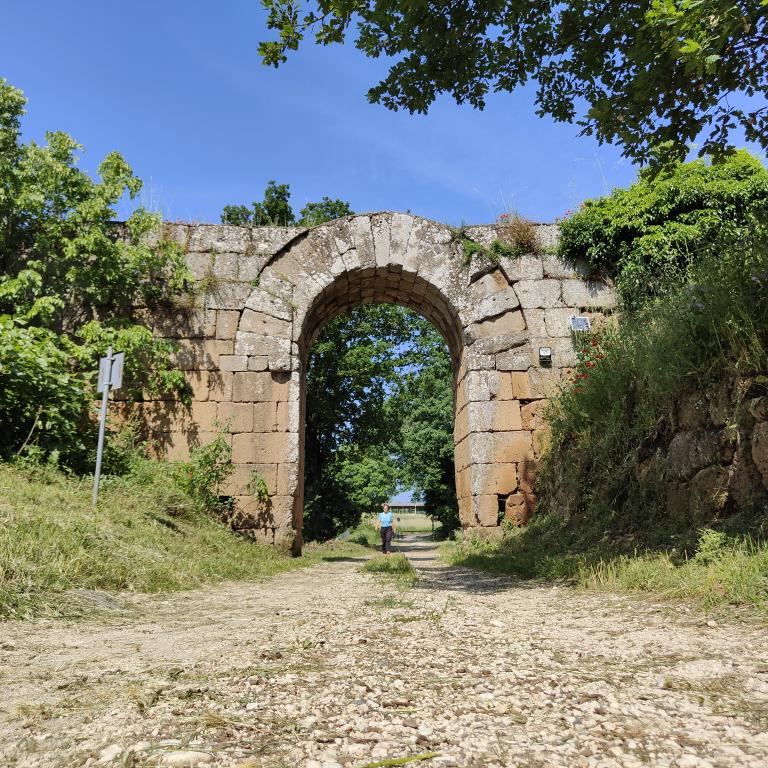
The stage of the path of the Via Amerina which starts from Corchiano to Nepi continues to be full of naturalistic but above all archaeological wonders, in fact it passes through the archaeological site of Falerii Novi and the Necropolis of Cavo degli Zucchi. Starting from the ancient village of Corchiano, immerse yourself in the Natural Monument following the fascinating path of the gorges, skirting splendid waterfalls and suggestive cut boulders to reach the Roman bridge. Follow the paved municipal road until you reach Falerii Novi, to cross the Porta di Giove and admire the Cistercian Abbey of Santa Maria Falerii. Proceed up to the Cavo degli Zucchi - a large cut along the Via Amerina and perhaps the most important necropolis along the Via. You pass the Rio Vicano, cross a cut and continue along Via Amerina until you take Via San Paolo to arrive at the delightful village of Nepi, passing the ancient Roman-style aqueduct.

Distance: 18 km

Elevation gain: +438/-391 m

Day 6

Walk from Caltata to Campagnano di Roma, 19 km

Walk from Caltata to Campagnano di Roma, 19 km
Continuing from Calcata Vecchia, passing by the Monastery of Santa Maria di Castelvecchio, today's route will take you to the quaint village of Campagnano di Roma, a stone's throw from the Eternal City.

Distance: 19 km

Elevation gain: +580/-520 m

Day 7

Walk from Campagnano di Roma to Isola Farnese and train into Rome, 22 km

Walk from Campagnano di Roma to Isola Farnese and train into Rome, 22 km
The day’s excursion is along the Roman countryside. The itinerary is quite flat with dirt roads or country trails, with just some hill in the final part. You will need to cross a stream and this could be more difficult just in particular conditions of water flow. At the end of the walk, from La Storta take the local train into Rome. From here you are able to see a glimpse of the dome of Saint Peter's, before descending towards the city to finally reach Piazza San Pietro, your ending point and that of many pilgrims throughout the centuries. You will be immediately fascinated by the magnificent history, monuments and archaeological areas of Rome. Discover the city's amazing restaurants and traditional cuisine.

Distance: 22 km

Elevation gain: +451/-636 m

Day 8

Arrivederci Rome!

Arrivederci Rome!
The trip and our services end after breakfast unless you have pre-book an extra in night in Rome or other destinations in Italy.

Details

Is this for me?


A journey through a lesser-known part of Lazio, the most Medieval and mysterious. It's a path full of historical and natural surprises and wonders, immersed in nature.

It's for you if you want to discover a lesser-known but beautiful route.

It's not particularly difficult, but still requires some experience or training to cover daily stretches that touch and exceed 20 km

Included


What is included

  • 7 Nights in double room in **/*** hotels , B&B and agriturismi with breakfast
  • 1 dinner (Agriturismo BioBagnolese)
  • luggage transportation from hotel to hotel
  • maps and detailed description of the itinerary in digital form, app
  • Medical and luggage travel insurance
  • 24h phone assistance

What is not included 

  • Transfers to the starting location and from the arriving location of the tour
  • lunches and dinners, if not otherwise stated
  • visits and entrance fees - tips
  • personal expense
  • possible sojourn taxes
  • everything that is not mentioned in the "What is included" section.

Optional Services

These services can be added to the ones included in the base price of the tour:

  • Single room supplement
  • cancellation insurance
  • Transfers to reach the starting location or to leave the arriving location of the tour, which will be quoted on request.
  • travel documentation in printed form (maps and detailed description of the itinerary), shipped to the first hotel

Accommodation


We work with 3* hotels, B&Bs and farmhouses that reflect our way of experiencing travel: they are comfortable and characterful structures, which we choose one by one, managed by passionate and welcoming people.

Unless otherwise specified in the travel listing, all provide private en-suite rooms with breakfast included.


La Locanda della Chiocciola - Orte
BioBagnolese Agriturismo - Castel Bagnolo
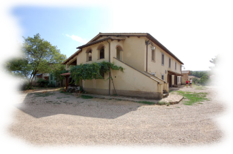
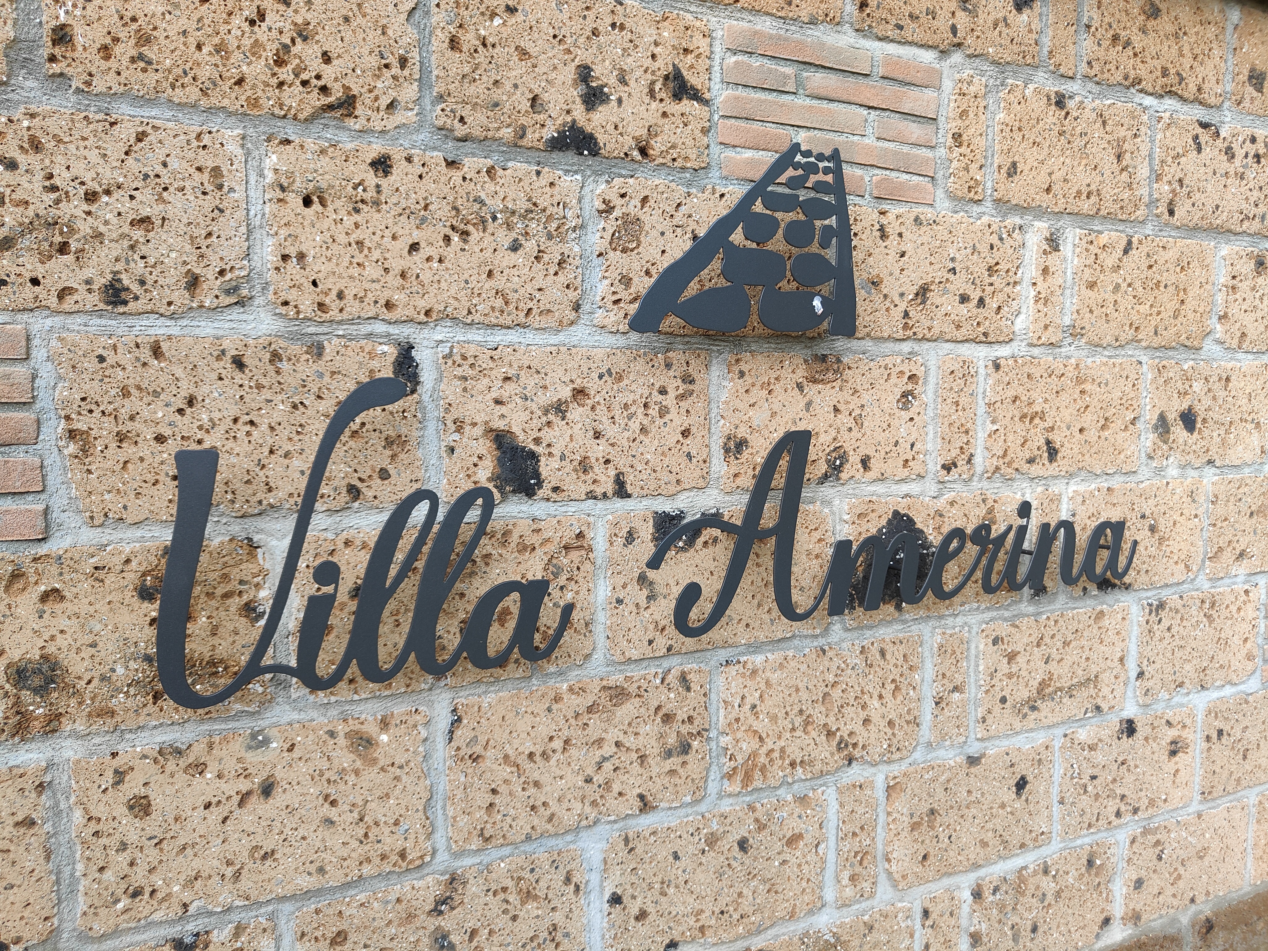
Agriturismo Villa Amerina - Corchiano
Opera Suites - Calcata
Hotel Benigni - Campagnano
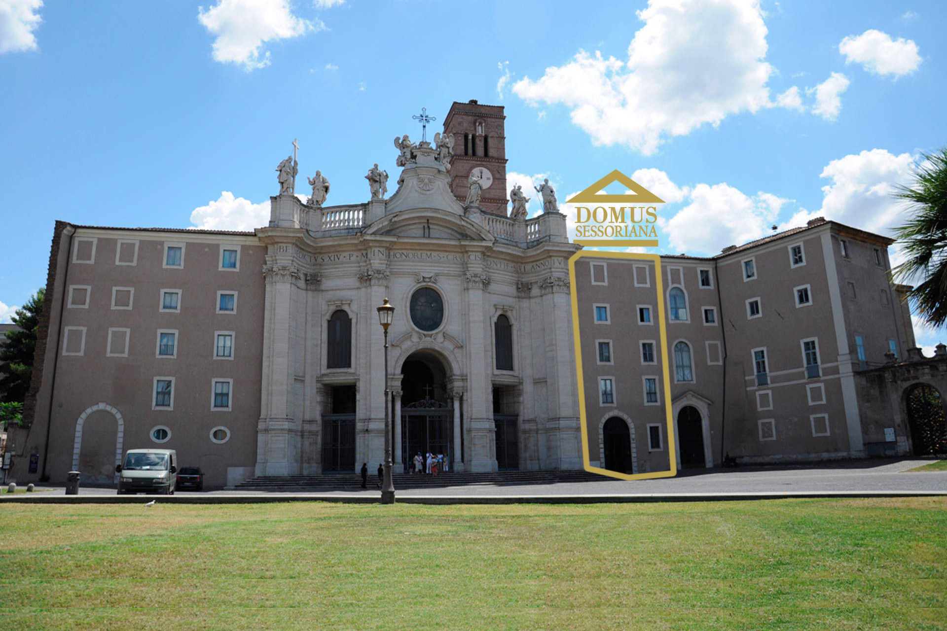
Hotel Domus Sessoriana - Roma

When to travel


The  climate  in Central  Italy  is  generally very  mild with  differences  depending  on the  geography  of  the  region,  from  coasts and valleys to the continental areas.The warmest months are generally July and August,  with  temperatures  ranging  from 23°C up to 30°C; the valleys can often see higher  temperatures  and38°C  to  40°  C  is not uncommon.While  June  and  September  offer  both  nice warm weather. Of course, there are always exceptions  or  dry  spells  that  cause  a  few days to get really hot. Spring    (April    and    May)    and    Autumn (October   and   November)   are   dry,   with sunny  days  but  the  chances  of  rain  are high.The  weather  can  change  very  quickly  and you must be prepared for rain, mist, wind, fog   (and   even   hail   or   snow   at   higher elevations) –especially   in   spring   and autumn. 

What to bring


Clothing and other items
You will need your regular walking/cycling gear, including some sort of reflective garment. For the evenings, smart outdoor style trousers (or shorts) are invaluable, as are quick-dry t-shirts. These can be washed easily and will dry overnight and still look good for sightseeing or having a drink in town.

Take as little as possible to avoid potentially lugging a heavy suitcase up three flights of stairs at the end of the day. Please be aware that laundromats (“Laverie”) are not common in rural areas, so plan to do handwashing of small items.

Lightweight walking shoes/ trainers
For wearing around towns & villages. They can also be a back-up pair.

Socks & underwear
Take only good quality socks with quick-dry and insulating qualities. Road test them before you go on the trip. Take a suitable quantity of underwear as washing facilities are limited.

Warm jacket, hat, gloves
Bring a fleece, Polartec or warm layers for the evenings especially in spring or autumn; be sure it is totally suitable for your needs.
A fleece jacket which blocks the wind (Wind-stopper) is the most preferable. In the summer months a lightweight jacket is suitable for evenings.
If you are cycling/walking in mountainous or coastal areas, even in the height of summer, the weather can change very quickly and unexpectedly and you should be prepared for fog, mist, rain, snow or hail at any time. Always take an extra layer with you, as well as a warm hat and gloves.

Waterproof jacket & trousers
If you are caught in heavy rain, with good waterproof clothing you should remain dry. Remember that most garments will lose their properties over time. Few will remain waterproof for more than five years and many deteriorate in three years or less. We recommend a rain jacket with a good hood and collar and waterproof or thermal walking/cycling trousers or tights.

Dress code
In general, you should wear suitable clothing when entering a church (in many places, it is considered unacceptable to go inside wearing shorts or a tank-top). We suggest that women carry a shawl to cover up bear shoulders or low-cut tops. It also comes in handy when your shoulders get sunburned!

It is considered inappropriate for men to go without a shirt / T-shirt (other than at the beach).

Trekking poles (adjustable)
Highly recommended. A pair works best, depending on what you are comfortable with. If you suffer from back or knee pain this should be considered essential. Remember to practise walking with your pole(s) on different types of terrain in the months preceding your trip.

Walking boots
The importance of good footwear cannot be stressed enough. Your boots should be sturdy and of good enough quality to handle all types of terrain. Lightweight boots, (cordura/leather boots) which have Gore-Tex or sympatex water-proofing are most suitable for this trip. They should provide good ankle protection and be well broken in. Waxing leather boots regularly prolongs their life.

Walking tops & trousers
We recommend walking trousers and shorts and quick-dry wicking t-shirts. These can be washed easily and will dry overnight and still look good for sightseeing or having a drink in town. Wicking T-shirts are fast drying, keep moisture away from your skin and are available at outdoor stores. You should also bring one pair of loose-fitting trousers to wear in cities and for evenings out, etc. Shorts or zip-off trousers are useful in warmer weather.

Practical info

How to arrive


There are several local trains going from Rome train station to Orte. 
The ride take 1/ 2 hours depending on the train you take. 
For more details and updated prices visit the website www.trenitalia.com or call the numbers +39.89.20.21/ +39.06.30.00. It is possible to reach the train station by public bus or taxi.

Mobile App


Use the SloWays APP for iOS and Android smart phones in combination with the written documentation provided.

The App has the detailed tracks and maps that you can use offline and without roaming. Thanks to the phone’s internal GPS, you can check your exact position on the map, so you always know exactly where you are. It also helps you self-navigate you way while travelling. More information on how to use the App inside the roadbook documents.

The navigation features include:

  • Offline navigation. Mobile data not required after initial download
  • Accurate GPS tracks
  • Autorotation of the maps
  • Daily route summary and elevation chart
  • Panorama of the track and at street level
  • Alarm and vibration that alerts you in case you go off track.
  • Emergency SMS button with position coordinates
  • Possibility to record and take georeferenced photos of problems on route alerting fellow travelers
  • Hotel information
  • Points of interest along the way
  • Historical background

Wanderlust Nominee Best Specialist Tour Operator 2023
Wanderlust
Nominee Best Specialist Tour Operator 2023
Change currency:

We accept:

VISA MASTERCARD

We accept:

VISA
MASTERCARD
FTO ATTA member
100% Green Travelife
FTO ATTA member 100% Green Travelife

Touroperating
S-Cape Countryside Travels srl
Borgo Allegri 16R
50122 Firenze FI
P. IVA 05227330486

 
© 2024 SloWays. All rights reserved.
Touroperating S-Cape Countryside Travels srl Borgo Allegri 16R 50122 Firenze FI, Italy
VAT Nr 05227330486
extraSmallDevice
smallDevice
mediumDevice
largeDevice
largeDevice
largeDevice